Geo Point We combine geodesy and design
Plug-in for the Topomatic Robur software package

Plug-in for the Topomatic Robur software package

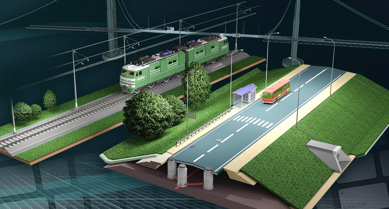
Topomatic Robur is a software for designing transport infrastructure facilities, carrying out the construction process and further maintenance of structures.

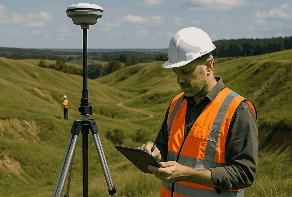
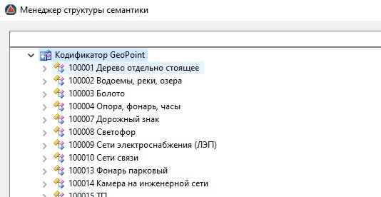
The Geo Point plugin provides an expanded range of possibilities for coordinating geodetic and camera work on a project. The main task of the plugin is to provide accelerated data exchange, which is solved by creating cloud projects. Each point in the area is saved in the database and uploaded to the project on the cameraman's computer.

The plugin provides automatic data loading by timer, comparing discrepancies between the open project and points in the database. This approach increases the data transfer rate and eliminates the creation of duplicate points.

A mobile application for geodetic work

A mobile application for geodetic work

The Geo Point application for Android is a mobile complex that ensures the work of a surveyor and a rover to quickly transfer information about the area to the project.

The mobile application works with rovers from the EFT GROUP company, allows you to configure and receive accurate location information. All operations are performed using the application interface or voice commands*.
The mobile application also provides data transfer about points to the cloud project*, from where the cameraman can receive them. The description of the captured point is carried out in accordance with the developed codifier for Robur Topomatics.

* - Internet access is required for voice control and uploading points to a cloud project.

Codifier for the Topomatic Robur software package

Codifier for the Topomatic Robur software package

His task is to compare survey codes with object codes. When working with points in a project, the codifier allows you to automatically determine the correspondence of each code with the object.

The Geo Point codifier is a proprietary development of codes for common objects that are used to describe points on the ground. The codifier is used both in Topomatics and in a mobile application so that a surveyor can quickly and accurately describe an object.

The codifier in the mobile application simplifies the work of the surveyor, as you no longer have to constantly describe the object manually. The extended logic of the application allows you to select the most appropriate description of an object by keywords, while speeding up the work on filling in data about the object, since most of the codes already store pre-prepared data.